

This can be achieved with Geospatial AI Data Processing.
The construction industry is on a precipice. Construction is already booming, and the recent passage of the bipartisan infrastructure bill means the industry is on the brink of exploding with $550 billion in direct infrastructure investments.
But manufacturing and supply chains are backed up for months. Labor shortages compounded by impending retirements are leaving firms shorthanded. Projects are becoming more and more complex with increasingly compressed schedules.
Where does that leave us?
Technology, and especially AI, are the keys to unlocking productivity in the engineering and construction sectors. Yet a McKinsey & Company study shows the industry has been slow on the uptake.
Upfront costs, training time, and steep learning curves can make implementing new methods seem intimidating. However, the productivity benefits of technology and AI for engineering and construction are becoming harder and harder to ignore. Additionally, high-tech options in all aspects of construction are becoming increasingly viewed as necessities instead of luxuries. In fact, language throughout the recent infrastructure bill indicates technology deployment will be strongly encouraged - if not required - in upcoming federally funded projects.
If you haven’t already done so, now’s the time to start integrating new technology into your workflow, but where’s the best place to start? For civil and land surveying firms, incorporating drones and UAVs into their surveying data collection and delivery process is a clear starting point.
When it comes to early-stage civil design, drones and UAVs can collect topographic and planimetric data on hundreds of acres in a fraction of the time compared to traditional survey methods. This method of data collection is quickly gaining popularity and widespread acceptance –so much so, that the recent infrastructure bill even includes a section requiring the Department of Transportation to create acceptance standards for Geomatic Data. Additionally, drones and UAVs are cheaper, more available, and easier to use than ever before.
By all accounts, drones are an easy way to incorporate highly-prioritized technology into your proposals and projects, while giving your team the ability to collect a large amount of data in a short amount of time for a wide range of projects. In theory, your workflow and productivity should be set to skyrocket...right?
The problem is, what do you do with the thousands of images and data files collected from large-scale projects? How do you transform the raw orthomosaic or point cloud files into usable linework and plans? There’s a good chance that the time you just saved in the field could get eaten up behind the desk as your staff struggles to process the mass amounts of data and wade through the drafting work required to create deliverables.
Getting your drone program off the ground might be a breeze, but difficulties navigating the sudden influx of data could keep your new technology from really taking off.
So what are your options?
You could focus on building up your drafting department –but at the end of the day, that might just mean diverting all of the resources you would have invested in the field back to the office to hire another experienced drafter to share the load. Alternatively, you could research software and invest in a program that could speed up in-house data conversion. That might be a good long-term option, but what if you don’t have the time for research and training right now? Plus, new methods for in-house processing mean there’s going to be a steep learning curve and lots of opportunities for error.
An AI solution can help lessen the demands on staff while quickly and accurately processing data. Geospatial AI takes drone technology to the next level with automated data processing and feature extraction - saving your team hours of tedious, manual labor.
AirWorks is at the forefront of using geospatial AI to transform raw data into site plans, grading plans, utility plans, or other useful deliverables. With AirWorks Automate, teams can simply upload their orthomosaic, pointcloud, or boundary files to the app and let AirWorks’ patented algorithms identify specific site elements through high-resolution pixel-based feature extraction. The result is survey-grade CAD plans - reviewed for quality by one of AirWorks’ civil engineers - with layers for the following feature types:
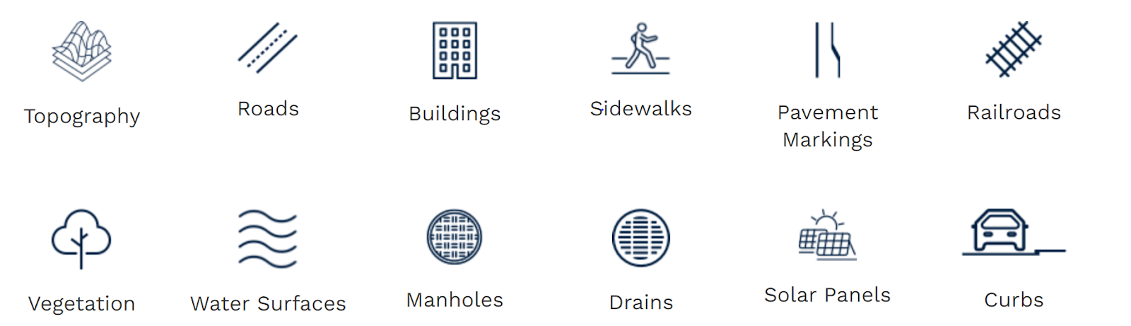
This planimetric data extraction is ideal for a number of project types, especially projects in urban landscapes with a wide range of closely spaced buildings, parking lots, utilities, etc.
- Corridor projects based around roadway and community improvements
- DOT and transportation projects
- ALTA surveys for defining boundaries and site features for real estate transactions
- As-built surveys for documenting final, existing conditions
Expansion of technology within engineering and construction is a must, and integrating drones and UAVs into civil design and surveying is an easy, productive way to incorporate technology into a wide range of projects. However, when it comes to creating deliverables, data processing can be an overwhelming challenge - especially for projects in complex urban settings. Geospatial AI feature extraction and autonomous drafting are great options for maximizing productivity and transforming intricate data directly into boundary surveys, grading plans, as-built documents, and more.
Acquiring drone data is easy, but making sense of the data is where things get complicated. Take the stress out of data processing and consider using a service like AirWorks Automate to quickly and seamlessly convert your data into final deliverables.